SLAD taught me today how to post images and videos.
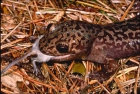
Here is where I live.
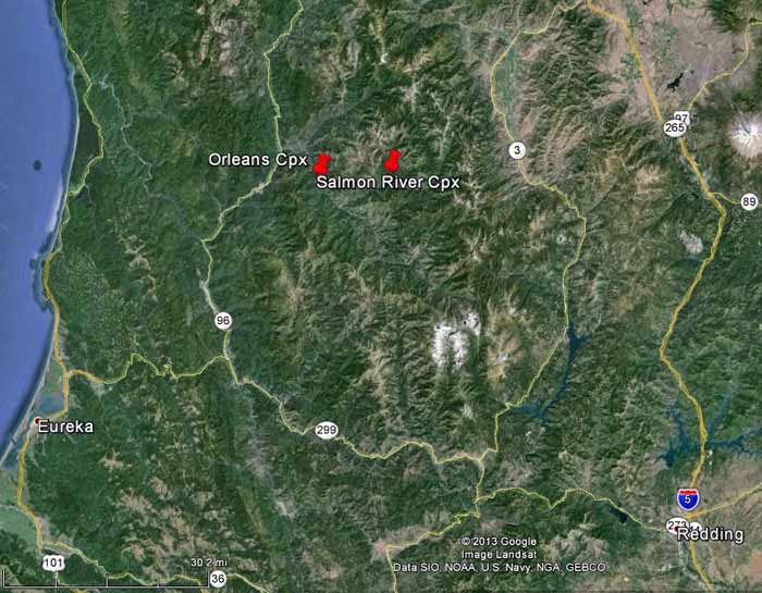
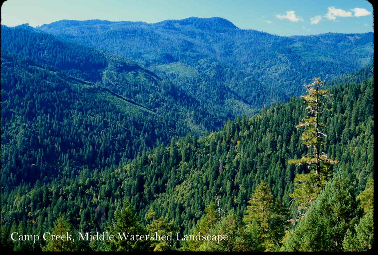
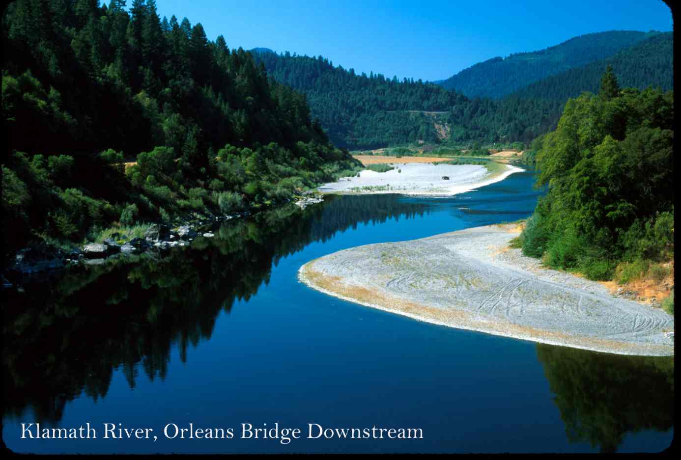
My home is about 1/4 inch below (south) of the n in Orleans perched on a bench above the Klamath River and State highway.
The high mountains to the south and southeast are the Trinity Alps Wilderness (526,000 acres).
The high mountains to the east and northeast are the Marble Mountain Wilderness (242,000 acres).
The high mountains to the north and northwest are the Siskiyou Wilderness (183,000 acres).
This satellite photo is about 80% federal ownership (National Forests, National Parks, Indian Trust lands, BLM) with private land between the coast and national forests, mostly timber industry (redwood) and miscellaneous private around Humboldt Bay (Eureka) and Redding. The 2.5 million acres closest to my home is about 99% federal.
The dark green area due west that abuts the Pacific Ocean is Redwood National Park (133,000 acres). The lighter green adjacent is timber industry land or Yurok Reservation land that has been and is logged whereas the dark green is primeval redwood; much of the logged land --2nd, 3rd, and 4th growth-- looks like grand forest to most until one sees the primeval forest. One is looking at over 50% of the existing never logged redwood in the world that originally ranged over about 2 million acres in California and occurs in a band about 20 miles closest to the coast in this photo. The area includes the Tall Trees Grove and the more recently discovered but specific location not divulged tallest tree in the world.
Name, park, height in meters
Hyperion - Redwood 115.61
Helios - Redwood 114.58
Icarus - Redwood 113.14
Stratosphere Giant - Humboldt 113.05
National Geographic - Redwood 112.71
Orion - Redwood 112.63
Federation Giant Humboldt 112.62
Paradox - - Humboldt 112.51
Mendocino - Montgomery 112.32
Mellenium - Humboldt 111.92
The range of redwood is the summer fog belt. I live in Douglas-fir, outside the summer fog belt, amid the greatest extent of never logged Douglas-fir that remains though part is fragmented by industrial logging of the National Forests between 1955 and 1990 and subsequent wildfires. The satellite photo was a location map for two large wildfires that occurred in 2014.
For scale, the Pacific Ocean is 29 miles due west crow miles from my house.
The highway from Redding to Eureka is 155 road miles.
The highway from my house to Eureka is 95 road miles.
Edit to add: If one looks to the far right and sees where State 89 leaves Interstate 5, the small volcano is Cinder Cone and Mount Shasta (14,000 ft plus) is about 3/4 inch east of Cinder Cone at this scale.